Land Use maps provide a framework for existing development patterns and proposed buildout at the former Fort Ord.
| Fort Ord Reuse Plan | ||||||
|
|
|
|
|
|
||
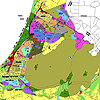
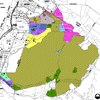
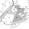
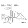
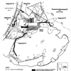
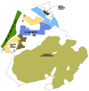 Figure 3.2-5 Fort Ord Assets and Opportunities |
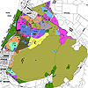
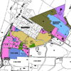
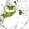
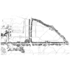
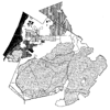
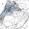 Figure 4.1-1 Existing Development Pattern at Fort Ord |
|||||
|
|
|
|
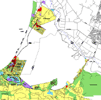
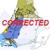
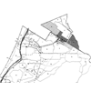
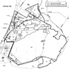
 Figure 4.1-4 Sphere of Influence and Annexation Requests |
|||
|
|
|
|
|
|
|
|
| Environmental Impact Report | ||||||
|
|
|
|
|
|
|
|
|
|
|
|
|
|
|
|
|
|
|
|
|
|
|
|
|
|
|
|
|
|
|
|